Romans
What did the Romans ever do for Bowthorpe?
At first glance you might say “nothing at all”, but the Romans were here in Bowthorpe. During archaeological digs in the area of Bishy Barnabee Way Roman ditches were found which were the partial remains of a field system and roman pottery has been found on the river bank. So people clearly lived and farmed in the area during the Roman period.
Norfolk Archaeological Service believes there was a Roman road running from Bawburgh through to the centre of Norwich and part of its route may have been along Dereham Road. This road passed through Bowthorpe and has been identified using aerial photographs. They also believe there was a roman cemetery on Dereham Road. It was common for the Romans to have cemeteries just outside a settlement but adjacent to a road. They think this road went onwards towards Brundall.
There is another known Roman road in Bowthorpe. The roadway/path on the west side of the church runs south through Bowthorpe down into Three Score, across Chapel Break Road and into the meadows down to the river where it crossed over into Colney. We know this was a Roman road because a Roman coin was found some years ago. The road probably also continued to the north and joined up with the one along Dereham Road but there is no evidence of this. Likewise my guess would be that the road continued south towards Hethersett and followed the route of Hethersett Road. Have a look on an Ordnance Survey map, you’ll see what I mean.
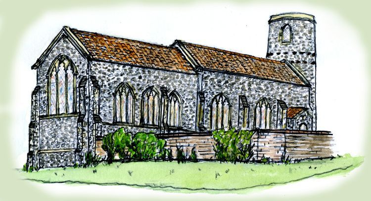
But what I find interesting is that the old Bowthorpe village grew up next to this road. Right next to this road is the Old Forge, the farm cottages, the old Harness rooms (now St Michael’s workshop), the craft workshops, the Old Barn (now the Community Gardens) and a little further away is the Hall. This means that the road was still in use and important. Also the church was built next to the road.
Most people expect a church to be built on the highest point in a settlement. However, if you look at a modern contour map you will see the land rises up from the church, past the Hall and on towards where they have built the care village. But the church and the village were in a good location for collecting water from the river whilst being high enough to be unaffected by flooding. Whilst I’m sure the landscape has changed since the road and church were built, my guess would be that the church was built on a bit of headland which looked out over the river valley. It’s quite a steep drop (by Norfolk standards) from the top of Tolye Road down to Chapel Break Road. This would have made the church a prominent feature in the river valley landscape and been seen for miles around.
So in fairness, the Romans didn’t do a lot for Bowthorpe specifically, but we can safely assume there was some sort of settlement here or close by; people lived here who dug ditches and set up a farming system. And it was significant enough to have two roads. So maybe they did do something for Bowthorpe after all.